United States Maps Home > United States Map Collection > Saint Lawrence Island Map - IMW
International Map of The World: Saint Lawrence Island: IMW-np-1-2
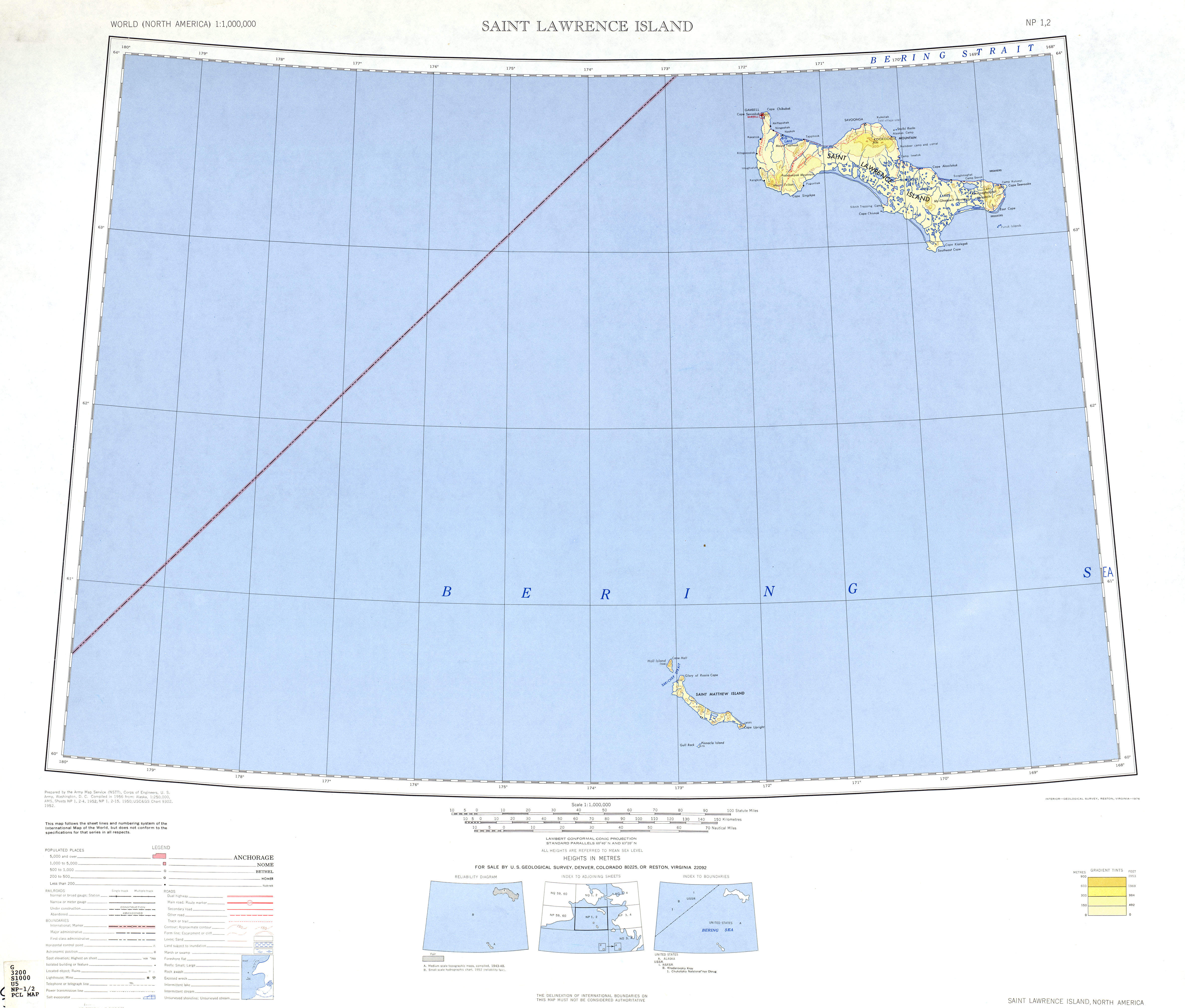
On top you have a simple drawing that sports the spatial relationships of this neighborhood with a simple selection of map elements.
You have permission to print this map and use it for many purposes. Linking back to this resource is always appreciated. Thank you.
In the event you want assistance finding a map, a different kind of map, or want a great custom-built cartographic design, simply contact YellowMaps.
Procure suitable custom-made maps from us. A tailor-made product produced by us contain a wonderful collection of features, e.g.: avenues, scale bar, coordinates, channels, marine navigation features, territories, geographical areas, or natural resources sites, etc. Types of custom maps range from topographic to contour, digital to hardcopy, regional to congressional districts.
Great maps are precise, up to date, and not unclear. Detail-Oriented map design by YellowMaps.
To procure paper maps, such as wall maps, folded maps, or hiking maps, simply browse our map shop We have a collection of more than 100,000 map products.
Looking for historical maps, or large-format map prints? Ask us.
Back to United States map collection