United States Maps Home > United States Map Collection > Northwestern Iowa Map
Printable Map of Northwestern Iowa
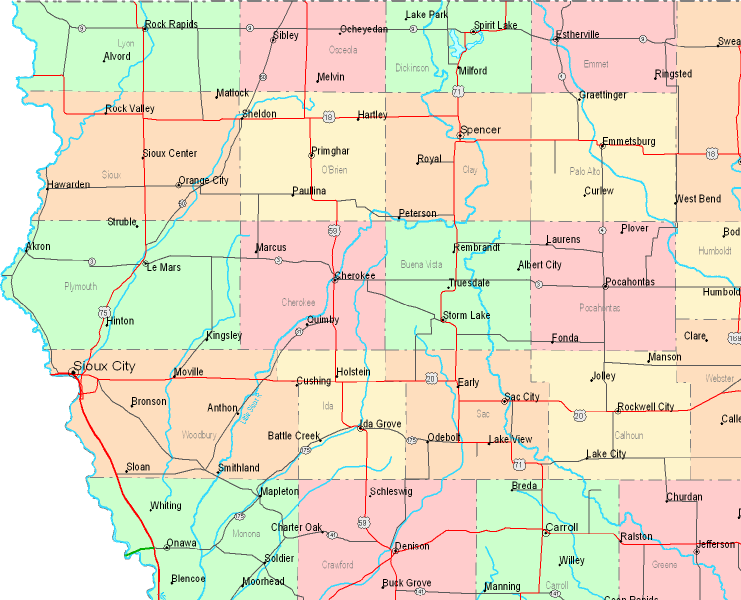
Above, you can see a classic projection that shows the geography of this place with a classic mixture of map elements.
You are allowed to share this web page and employ it in your work. Linking back to this resource is our request.
Supposing you need assistance locating a map, a specific map, or need a proper custom cartographic design, you can contact our map specialists.
Procure nice tailor-made maps from us. A tailor-made product produced by us embrace a wholesome diversity of elements, e.g.: boulevards, altitude info, UTM coordinates, capes, islands, oceans, forests, or recreational sites, etc. Map types range from highway to land use, digital to hardcopy, census blocks to school districts.
Proper maps are thorough, all-encompassing, and not old. Expert cartography by YellowMaps.
To buy physical maps, e.g. wall maps, attractions maps, or topo maps, do not hesitate to marvel at the cartographic delights in our map shop We hold thousands and thousands items.
If you know of an amazing map that you would like to let us know about, please share the news. We are interested!
Back to United States map collection