United States Maps Home > United States Map Collection > Southwestern Iowa Map
Printable Map of Southwestern Iowa
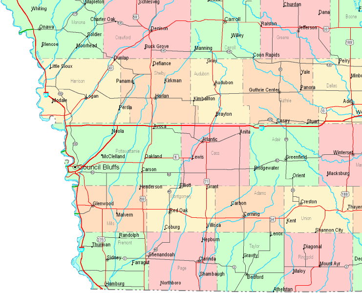
This map is a basic map that sports the geography of this locale with a plain variety of map components.
You have permission to store the map file and utilize it for a variety of purposes. Providing a link to here would be considerate and well thought of.
In the event you are looking for help getting a map, a particular map, or are looking for a tip-top custom product, quickly email us.
Purchase first-class custom-made maps from us. Our custom maps contain a refreshing mixture of map components, like: streets, scale bar, UTM coordinates, district municipalities, major agglomeration areas, seas, hamlets, or provinces, etc. Map types vary from regional to relief, static to dynamic, county level to state legislative districts.
Tip-Top maps are precise, current, and not old. Skillful cartography by YellowMaps.
To order paper maps, like wall maps, world maps, or maps for kayaking, I suggest you go to our online map shop You can find tens of thousands map items.
Mapping the world. One step at a time.
Back to United States map collection