United States Maps Home > United States Map Collection > Central Kentucky Map
Printable Map of Central Kentucky
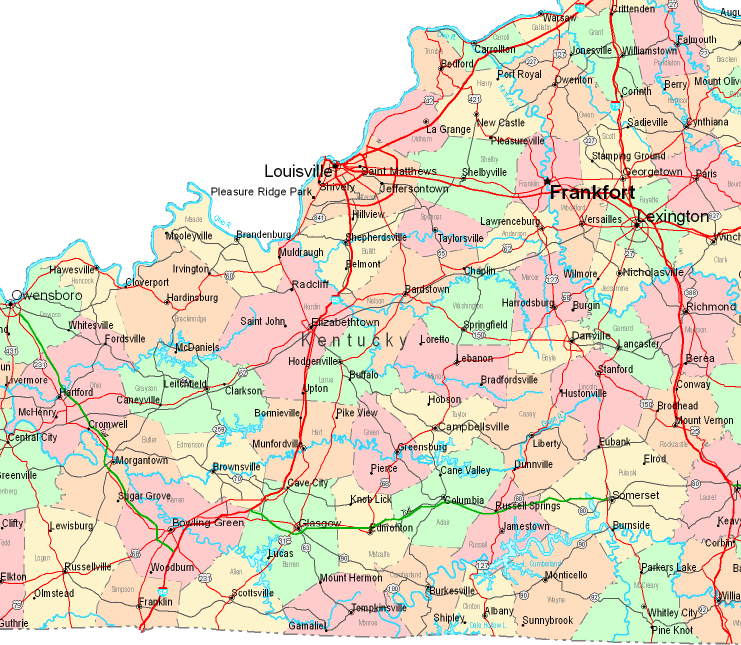
Above is a classic map exposing the geography of this neighborhood with a classic mixture of map components.
You have permission to share the map image and utilize it for a variety of purposes. Giving credit to this source is very much appreciated.
If you want support acquiring a map, a special kind of map, or want a nice custom-made work, do not hesitate to contact our map specialists.
Order proper individualized maps from us. Cuztomized maps by YellowMaps consist of a wonderful combination of map elements, in detail: highways, map projection, coordinates, channels, lakes, springs, falls, or natural resources sites, etc. Map types range from highway to tourist, static to dynamic, electoral district to urban areas.
Nice maps are correct, complete, and not deceptive. Distinguished cartography by YellowMaps.
To procure printed maps or charts, like recreation atlases, educational maps, or maps for exploring, just go to our map store There, you will discover over 100,000 map items.
Fun fact about maps: the word 'map' comes from the Latin 'mappa mundi', meaning 'world on cloth'.
Back to United States map collection