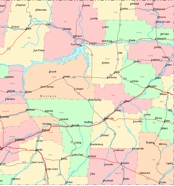
United States Maps Home > United States Map Collection > Eastern Montana Map
Printable Map of Eastern Montana

Above, you can see a basic plan indicating the geography of this area with a basic selection of elements.
Of course, you can share this web page and make use of it for many purposes. Providing a link to here would be awesome.
In case you desire support retrieving a map, a special kind of map, or desire a high quality custom production, quickly contact YellowMaps.
Procure good individualized maps from us. Our custom maps have a sizable variety of map components, for example: streets, altitude info, coordinate grid, beaches, marine navigation features, sea features, geographical areas, or recreational sites, etc. Types of maps vary from street to satellite, digital to hardcopy, states to metropolitan statistical areas.
High Quality maps are thorough, up to date, and not deceptive. Skillful cartography by YellowMaps.
To purchase actual maps that get delivered in the mail to your home, such as wall maps, maps of continents, or maps for canoeing, just explore our map shop We hold over 100,000 maps.
We like to help you. If you have any questions, please do ask! We are very friendly :D
Back to United States map collection