United States Maps Home > United States Map Collection > Eastern North Dakota Map
Printable Map of Eastern North Dakota
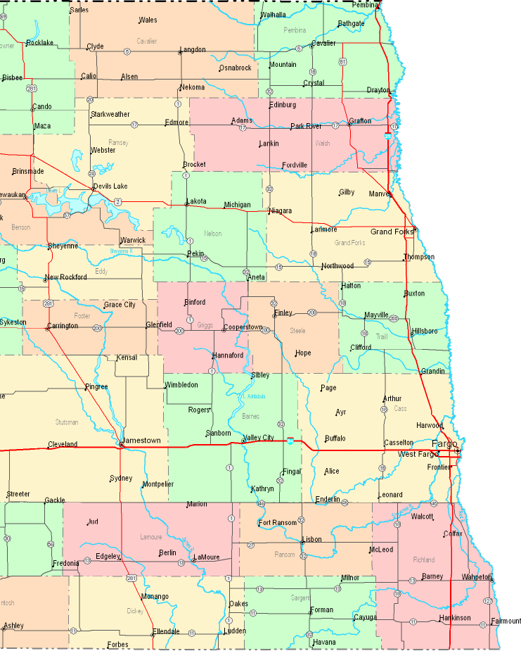
Above, you can see a classic graphic showing the geography of this region with a plain selection of elements.
You are granted permission to print the map file and work with it in your work. Citing this page is always appreciated. Thank you kindly.
In the event you desire support locating a map, a particular map, or desire a high quality custom-made production, quickly contact us.
Acquire high quality individualized maps from us. Our custom maps consist of a huge array of map elements, for example: roadways, map projection, UTM coordinates, bays, marine navigation features, undersea features, falls, or railway features, etc. Map types run from cultural to city, printed to electronic, electoral district to urban growth areas.
High Quality maps are correct, all-inclusive, and not obsolete. Finest map production by YellowMaps.
To purchase printed maps or charts, for instance wall maps, maps for kids, or maps for exploring, simply pay a visit to our map shop We carry over 100,000 items.
Perhaps you can find the map you are looking for already made: just use the above search bar to search our map store.
Back to United States map collection