United States Maps Home > United States Map Collection > Political Of USA Map
Printable Map of Political Of USA
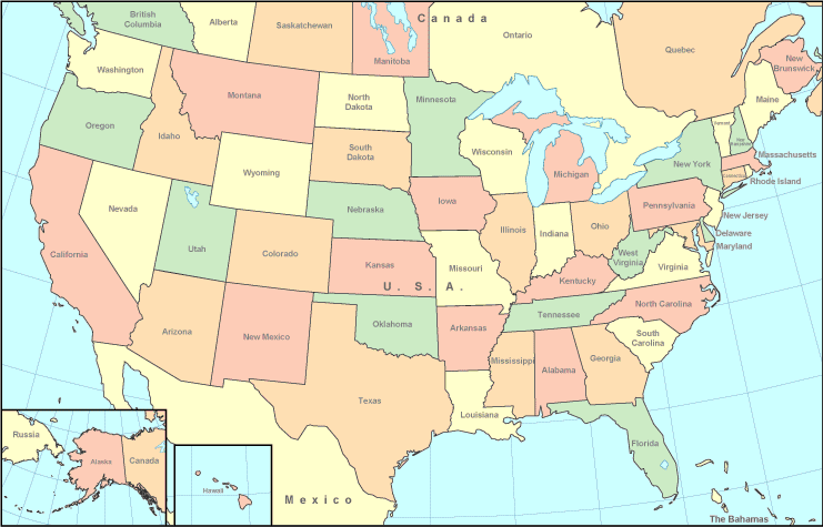
This map is a simple map demonstrating the spatial relationships of this region with a classic medley of features.
You have permission to view the map file and make use of it in your projects. Giving credit to this webpage is very much appreciated.
In case you are hoping for help obtaining a map, a distinct kind of map, or are hoping for a good custom-made creation, simply email us.
Order high quality personalized maps from us. A custom map made by us encompass a wholesome combination of features, e.g.: streets, scale bar, UTM coordinates, beaches, lakes, undersea features, falls, or road features, etc. Map types reach from human geography to satellite, travel to research, electoral district to estates.
Good maps are succinct, all-inclusive, and not deceptive. Distinguished map design by YellowMaps.
To order hardcopy maps, such as wall maps, tourist maps, or topo maps, you can pay a visit to our online map shop We hold tens of thousands items.
We like to help you. If you have any questions, please do ask! We are very friendly :D
Back to United States map collection