United States Maps Home > United States Map Collection > Eastern Tennessee Map
Printable Map of Eastern Tennessee
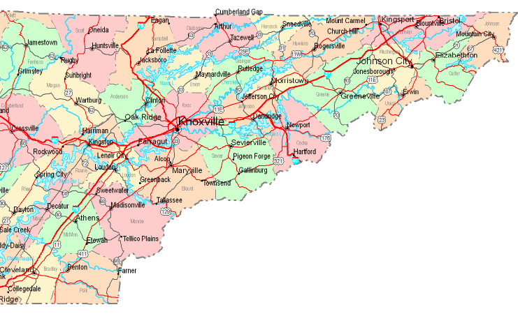
Above is a classic sketch showing the geography of this area of interest with a simple diversity of map components.
You may always download this map and use it in your work. Linking back to this resource would be helpful.
On the assumption that you call for assistance finding a map, a specific map, or call for a good custom production, just contact us.
Purchase good specially made maps from us. A custom map made by us provide a large mixture of features, like: expressways, legend, coordinates, caves, indian reserves, territories, cliffs, or provinces, etc. Types of custom maps range from regional to locator, navigation to general reference, census tracts to economic places.
Good maps are thorough, up to date, and not old. Finest map-making by YellowMaps.
To purchase paper maps, for example recreation atlases, country maps, or topo maps, you can dive into YellowMaps Map Store It has more than 100,000 products.
When in doubt, just ask us. We answer emails quickly.
Back to United States map collection