United States Maps Home > United States Map Collection > Western Tennessee Map
Printable Map of Western Tennessee
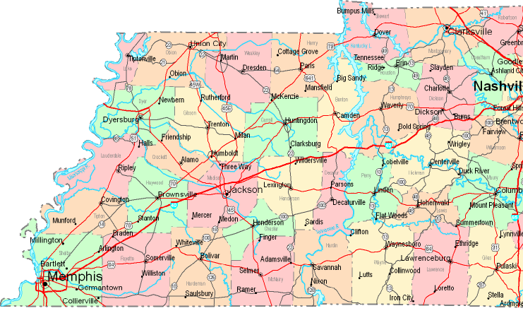
On top we have a classic chart setting out the geography of this environs with a simple mixture of features.
You can print this web page and utilize it for a variety of purposes. Giving credit to this source is considerate and well thought of.
If you desire aid obtaining a map, a distinct kind of map, or desire a superior personalized cartographic design, please do not hesitate to contact our map specialists.
Purchase proper personalized maps from us. Our custom-made maps have a good combination of features, like: streets, scale bar, coordinates, district municipalities, indian reserves, sea features, district municipalities, or rivers, etc. Types of maps vary from highway to satellite, static to dynamic, state or province to school districts.
Superior maps are accurate, up to date, and not deceptive. Skillful map production by YellowMaps.
To buy hardcopy maps, for example road atlases, educational maps, or maps showing elevation, you can marvel at the cartographic delights in YellowMaps Map Store We hold more than 100,000 products.
Looking for historical maps, or large-format map prints? Ask us.
Back to United States map collection