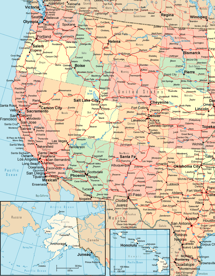
United States Maps Home > United States Map Collection > Western USA Political Detail Map
Printable Map of Western USA Political Detail

The map above is a basic picture showing the geography of this locale with a classic assortment of elements.
You are allowed to print the map image and work with it in your projects. Citing this page would be considerate and well thought of.
Supposing you need help finding a map, a special kind of map, or need a great customized cartographic design, quickly inquire for details.
Order tip-top tailor-made maps from us. Our custom-made maps consist of a refreshing collection of elements, like: boulevards, scale bar, GPS coordinates, air navigation features, major agglomeration areas, villages, craters, or rapids, etc. Types of maps vary from human geography to aerial, printable to printed, census blocks to urban areas.
Great maps are succinct, well-defined, and not out-of-date. Detail-Oriented map-making by YellowMaps.
To acquire paper maps, for example road atlases, state maps, or maps for canoeing, please marvel at the cartographic delights in our online map shop We have a collection of over 100,000 items.
Whatever map you need, just contact us - we usually respond right away, or within a few hours.
Back to United States map collection