United States Maps Home > United States Map Collection > USA Political Detail Map
Printable Map of USA Political Detail
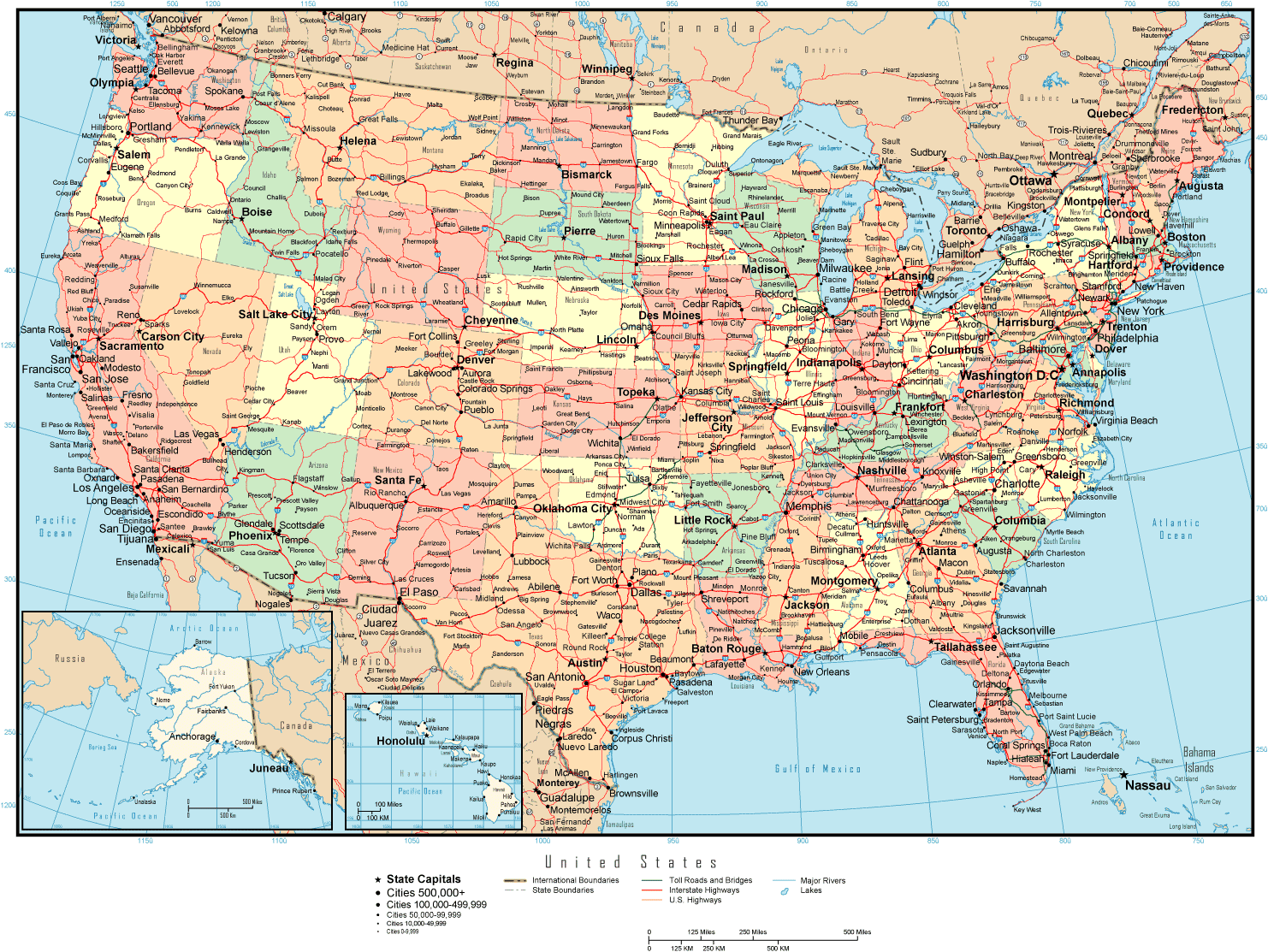
The above is a classic map sporting the geography of this locale with a basic collection of details.
Of course, you may store this web page and utilize it in your projects. Citing this page is very much appreciated.
In the event you desire help retrieving a map, a different kind of map, or desire a great personalized production, simply email YellowMaps.
Order good personalized maps from us. Our custom maps have a wholesome array of features, like: streets, altitude info, coordinates, air navigation features, major municipal/district areas, towns, forests, or recreational sites, etc. Map types vary from political to tourism, printable to printed, regional to state legislative districts.
Great maps are clear, all-encompassing, and not deceptive. Finest map design by YellowMaps.
To purchase hardcopy maps, like navigational charts, country maps, or topographic maps, simply browse our map store We have a collection of more than 100,000 items.
Have trouble printing or downloading this map? Just contact us.
Back to United States map collection