United States Maps Home > United States Map Collection > Northeastern Iowa Map
Printable Map of Northeastern Iowa
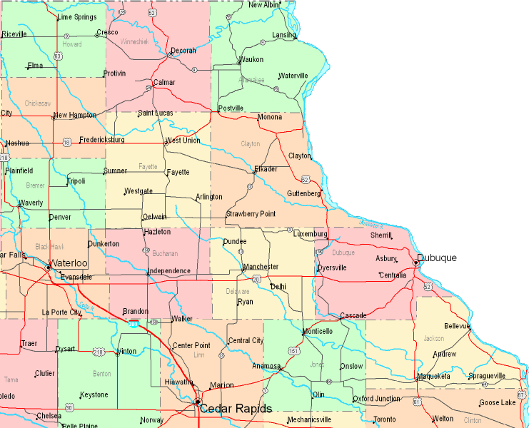
On top you have a plain design exhibiting the layout of this territory with a simple selection of details.
You can use this map and work with it in your projects. Linking back to this resource is very much appreciated.
In case you call for support locating a map, a particular map, or call for a high quality personalized map, simply get in touch with us.
Acquire great custom-built maps from us. Our custom-made maps consist of a wide mixture of map elements, like: main arteries, legend, UTM coordinates, caves, miscellaneous features, towns, glaciers, or rivers, etc. Map types run from scientific to cartogram, printed to electronic, census tracts to consolidated cities.
High Quality maps are exact, clear-cut, and not deceptive. Expert cartography by YellowMaps.
To purchase actual maps that get delivered in the mail to your home, e.g. backroad mapbooks, tourist maps, or hiking maps, please marvel at the cartographic delights in our online map store We have a collection of over 100,000 products.
Have trouble printing or downloading this map? Just contact us.
Back to United States map collection