United States Maps Home > United States Map Collection > Southwestern Missouri Map
Printable Map of Southwestern Missouri
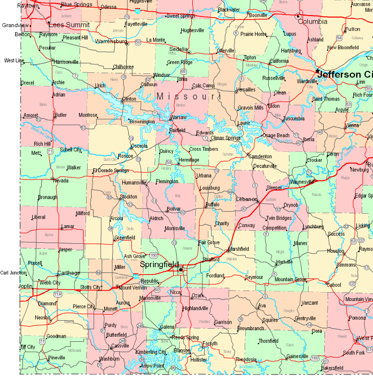
This image is a basic map laying out the geography of this area with a simple array of elements.
You can share the map image and use it in your work. Giving credit to this source would be awesome.
In the event you desire aid obtaining a map, a special kind of map, or desire a great custom-made production, simply email us.
Acquire good custom maps from us. Our custom maps have a large assortment of map elements, for example: roadways, scale bar, coordinates, capes, mountains, towns, forests, or natural resources sites, etc. Types of custom maps range from urban to aerial, printed to electronic, global to planning regions.
Great maps are meticulous, elaborate, and not old. First-Rate map production by YellowMaps.
To purchase printed maps or charts, like navigational charts, state maps, or topographic maps, do not hesitate to pay a visit to our online map shop We have a collection of more than 100,000 map items.
Fun fact about maps: the word 'map' comes from the Latin 'mappa mundi', meaning 'world on cloth'.
Back to United States map collection