United States Maps Home > United States Map Collection > Central Oklahoma Map
Printable Map of Central Oklahoma
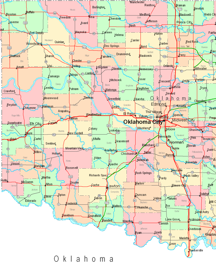
Above is a simple graph that sports the geography of this area with a basic diversity of map components.
You can download this map and use it for many purposes. Linking back to this resource is always appreciated. Thank you.
Supposing you wish for assistance obtaining a map, a distinct kind of map, or wish for a good custom map, please do not hesitate to email us.
Purchase first-class tailor-made maps from us. Our custom maps encompass a full collection of map components, like: backroads, elevation information, GPS coordinates, campsites, major municipal/district areas, undersea features, hamlets, or plains, etc. Map types run from street to land use, printable to printed, world to urban growth areas.
Good maps are correct, current, and not old. Fine map design by YellowMaps.
To purchase physical maps, for example navigational charts, world maps, or topo maps, I suggest you dive into our online map store We have a collection of more than 100,000 items.
We like to help you. If you have any questions, please do ask! We are very friendly :D
Back to United States map collection