United States Maps Home > United States Map Collection > Western Oklahoma Map
Printable Map of Western Oklahoma
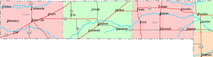
The map above is a simple drawing indicating the geography of this locality with a classic collection of details.
Of course, you may store this file and use it for many purposes. Linking back to this resource would be awesome.
If you want help finding a map, a different kind of map, or want a good personalized creation, please do not hesitate to email YellowMaps.
Acquire suitable customized maps from us. Custom maps made by YellowMaps embrace a large collection of map components, like: highways, map projection, UTM coordinates, district municipalities, indian reserves, unincorporated areas, craters, or rapids, etc. Types of maps reach from geological to wall, folded to rolled, state or province to consolidated cities.
Good maps are thorough, all-encompassing, and not unclear. Fine map design by YellowMaps.
To buy hardcopy maps, for example navigational charts, attractions maps, or topographic maps, please browse our online map shop We carry over 100,000 map products.
We make and retail maps. And we love it.
Back to United States map collection