United States Maps Home > United States Map Collection > Southeastern USA Political Detail Map
Printable Map of Southeastern USA Political Detail
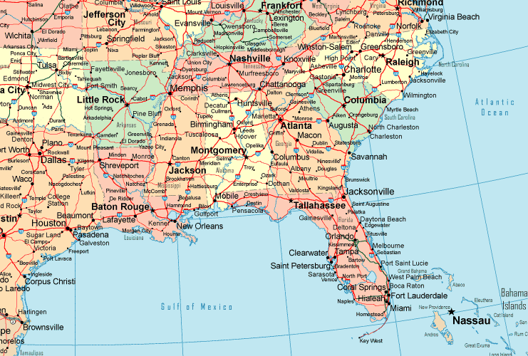
The map above is a plain drawing setting out the spatial relationships of this environs with a basic variety of map components.
You may view the map file and utilize it for many purposes. Citing this page would be awesome.
In the event you require support obtaining a map, a specific map, or require a suitable customized work, you can contact us.
Buy first-rate made to your specs maps from us. A tailor-made product produced by us consist of a useful diversity of map elements, such as: avenues, legend, GPS coordinates, cities, military area, shoals, glaciers, or rivers, etc. Map types go from road to tourist, printable to printed, census blocks to voting districts.
Suitable maps are explicit, up to date, and not out-of-date. Skillful cartography by YellowMaps.
To acquire actual maps that get delivered in the mail to your home, such as road atlases, maps of continents, or hiking maps, simply browse YellowMaps Map Store It has more than 100,000 products.
Looking for historical maps, or large-format map prints? Ask us.
Back to United States map collection